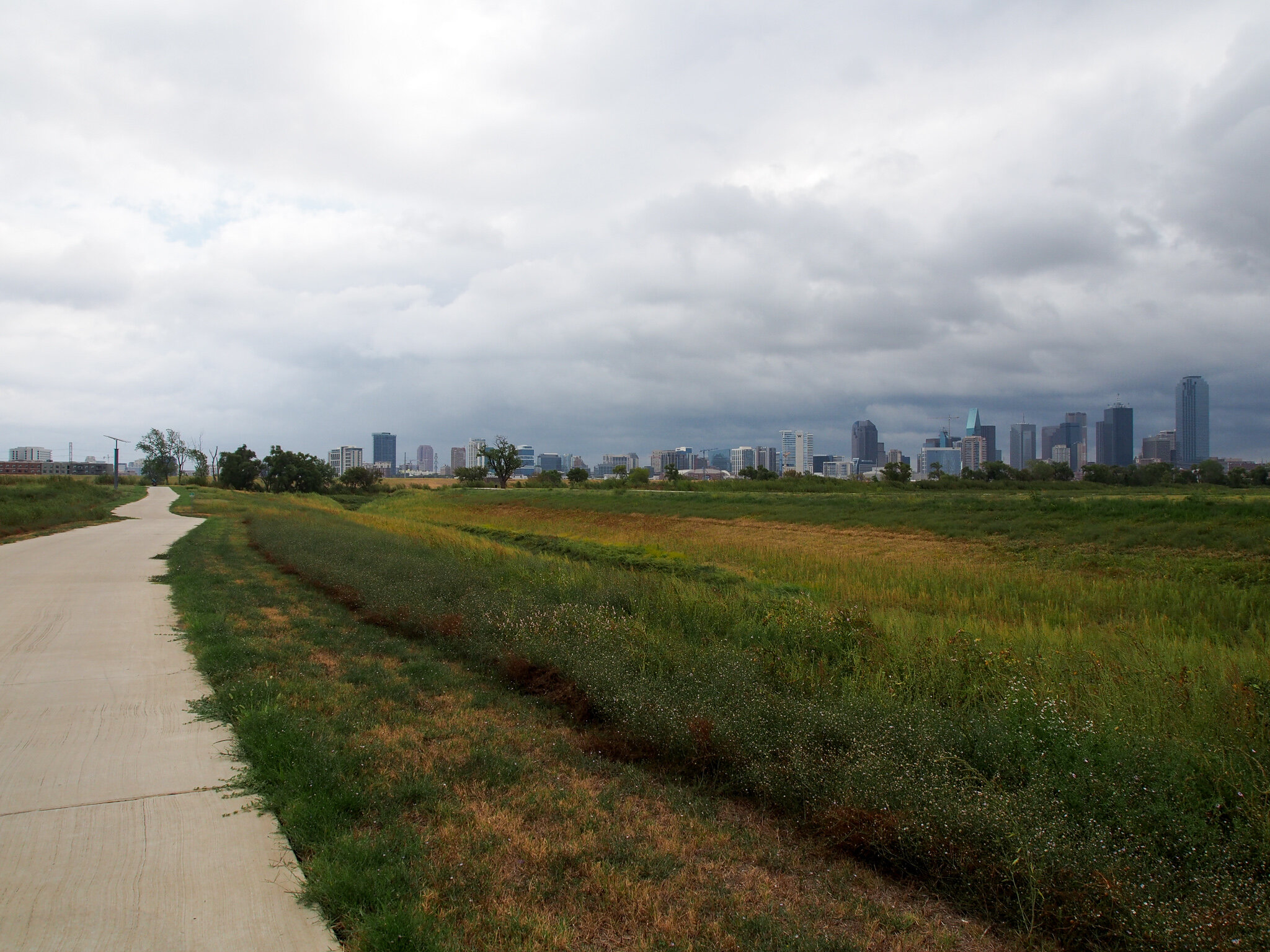
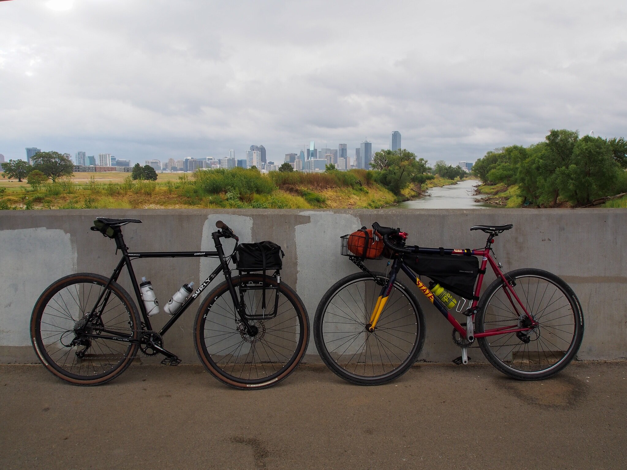
Studio Outside completed an extensive urban design framework to connect the people of Dallas to the new Harold Simmons Park in the Trinity River. The study inspired me, but also made me curious about not only the city connected to the river and its park, but also the river connecting our cities.
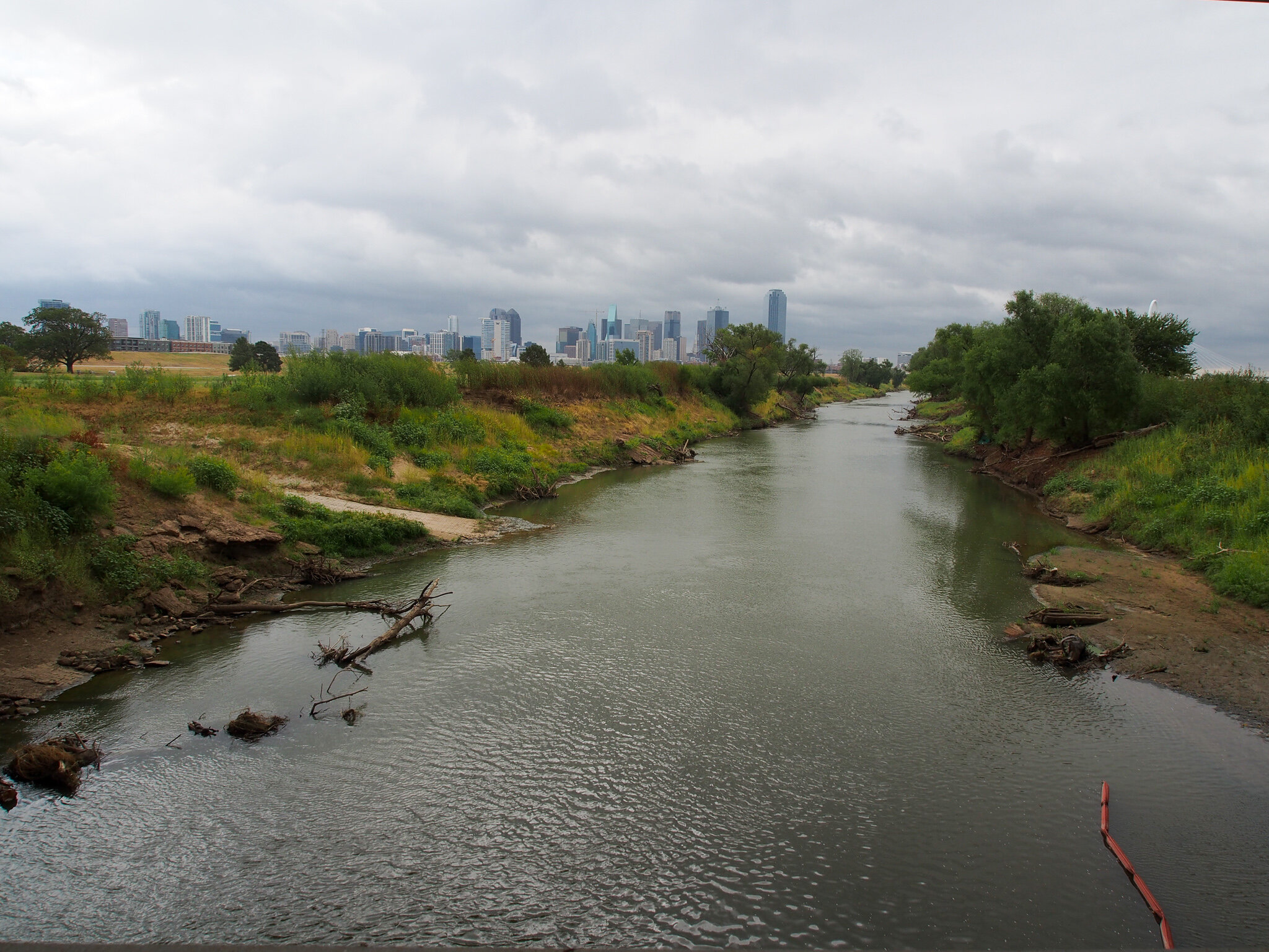
Here in the DFW Metroplex, we have a unique urban condition. Dallas and Fort Worth are connected over 40 miles of the Trinity River. Arlington, Irving, Grand Prairie, and other Metroplex cities also encompass portions of the river in this space. Dallas, the eastern metropolis, intercepts the Trinity River just before it turns south into the Great Trinity Forest, eventually making its way to the Trinity River Bay where it disperses into the Gulf of Mexico. In Fort Worth, the Clear Fork and the West Fork of the Trinity River converge before carving out the northern edge of Fort Worth’s downtown. Despite the different geomorphic organization, the same urban river interacts with these two major cities. I wanted to investigate the Trinity River in both of these cities, but also in the liminal space between Dallas and Fort Worth. I wanted to experience the river as a continuum, not just at the points that tug on either end of the urban river system.
Route from Dallas to Fort Worth, via Trinity River.
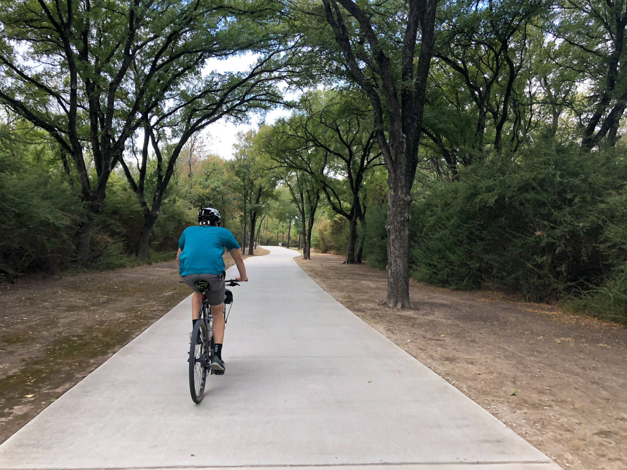
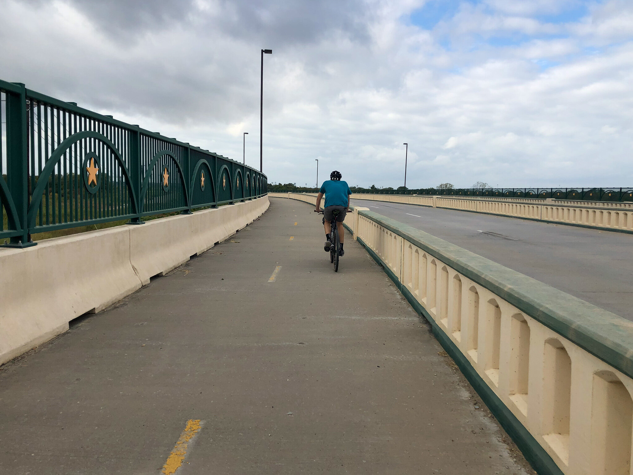
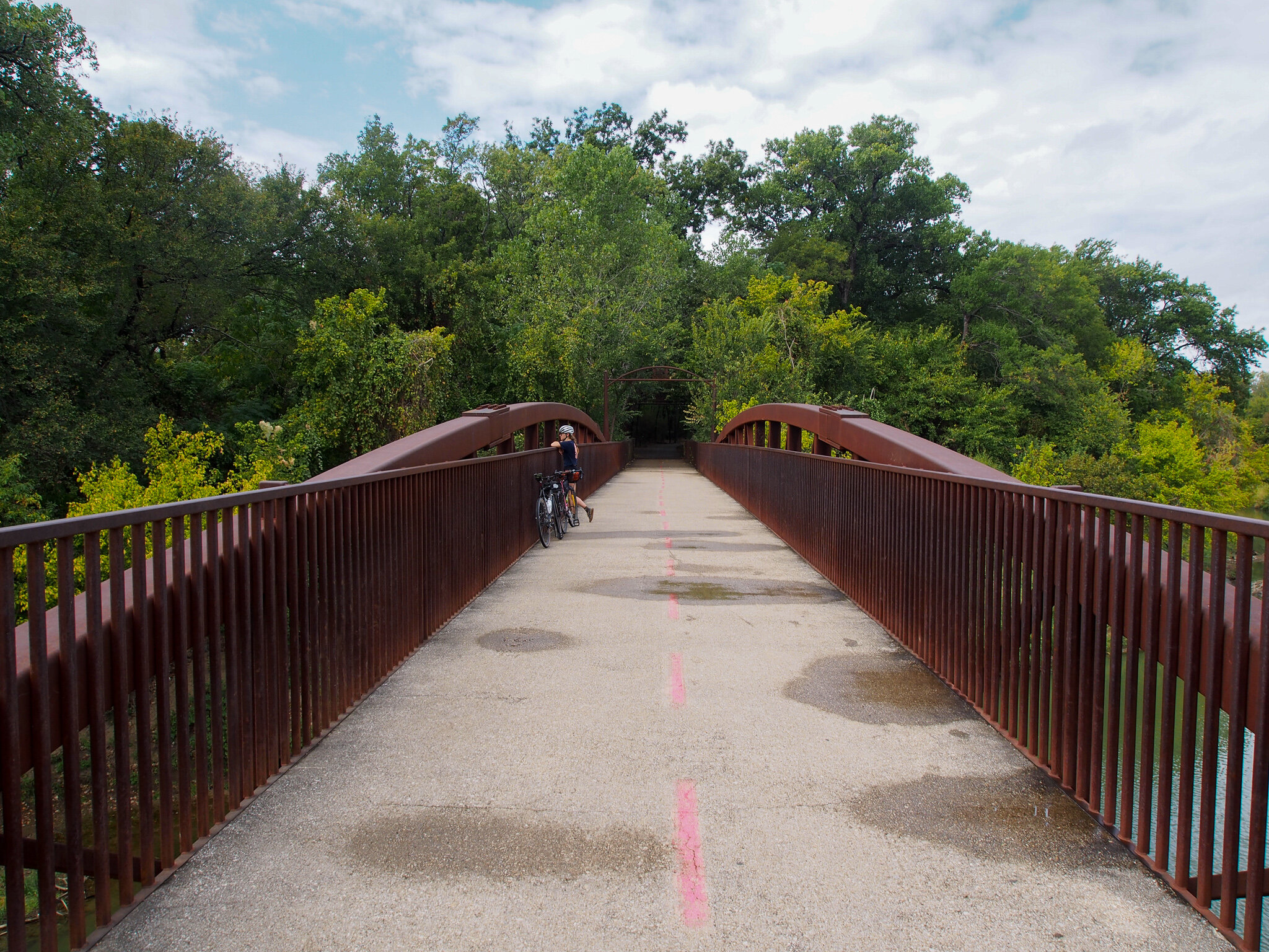
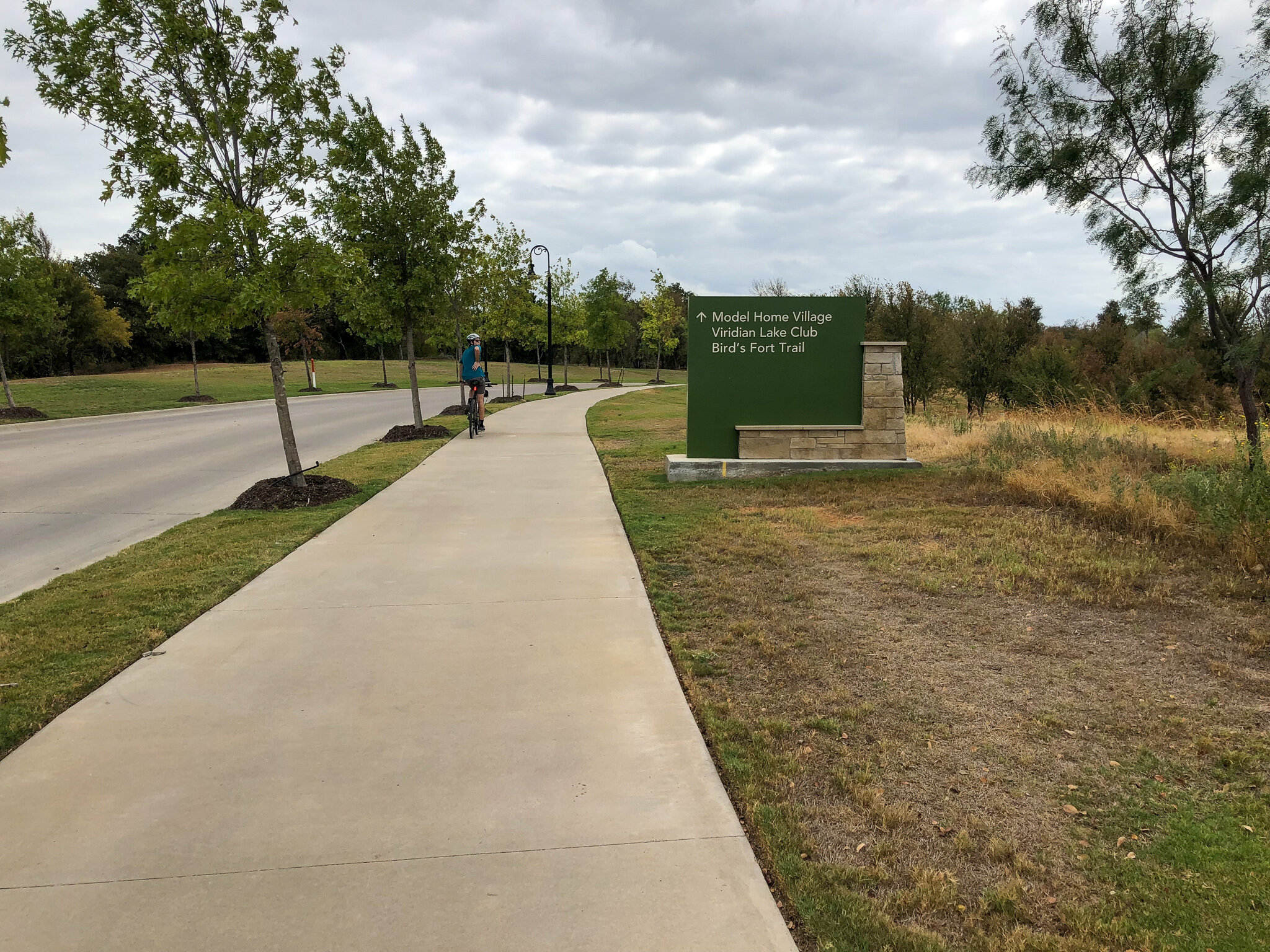
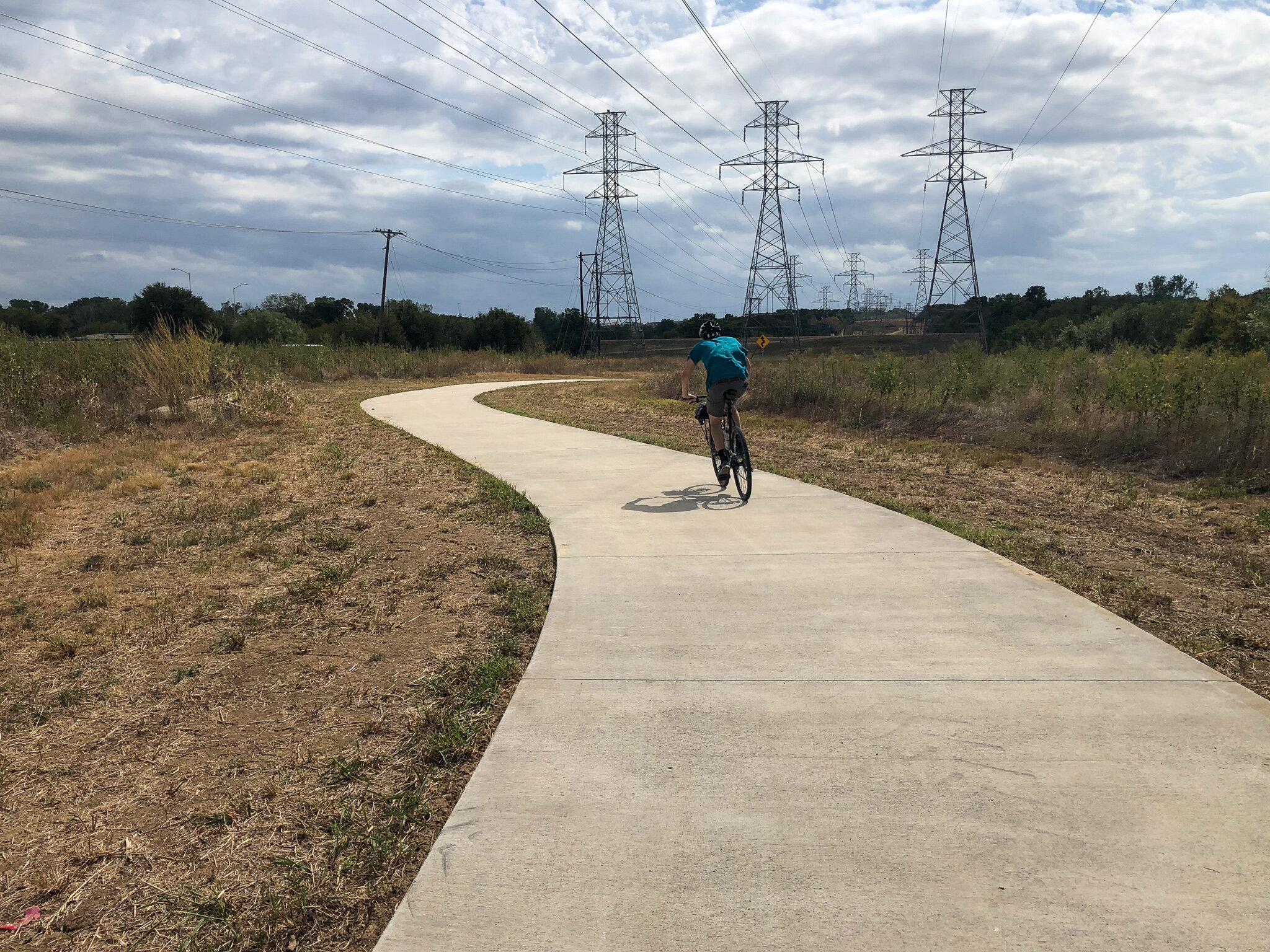
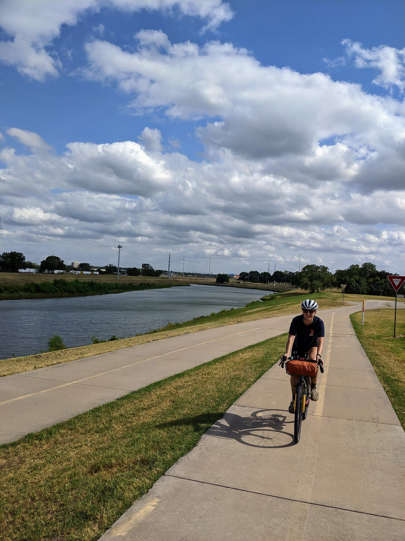
I planned a bike route that followed the Trinity as closely as possible from my home in East Dallas to downtown Fort Worth (endpoint was eventually adapted to a brewery off Main Street, as a result of an all-day headwind). The route combined gravel trails, standard bike lanes, and concrete bike paths along golf courses and through parks, to ultimately make up the 52-mile journey trans-metroplex.
THE TRAILS
I have continually asked myself one specific question as I ride through different cities around the world. “Is it the robust cycling culture that influences supportive bike infrastructure, or is it the abundance and quality of infrastructure that allows a strong bike culture to flourish?”
This trans-metroplex adventure caused me to return to this question. As I easily connected this comprehensive system, I thought to myself, Dallas and the Metroplex at large have proper bicycle infrastructure. I managed to connect 52 miles of bike paths in a metro-area that was rated the worst city for cycling just 7 years ago, for the second time.
Connectivity gaps identified while en route to Fort Worth.
However, there were certain gaps along the route that made connections difficult at times (denoted as red circles above). Sometimes these gaps were a few miles long in industrial areas, and sometimes it was a confusing intersection with turn-arounds and a lack of a clear crosswalk. The main artery of collector paths is established; we just need supporting veins to continue to build our bike infrastructure system. Intermediate roads that connect two trailheads need a bike lane to ensure connectivity and transitions between multi-use trails should be a concise and safe experience.
THE RIVER
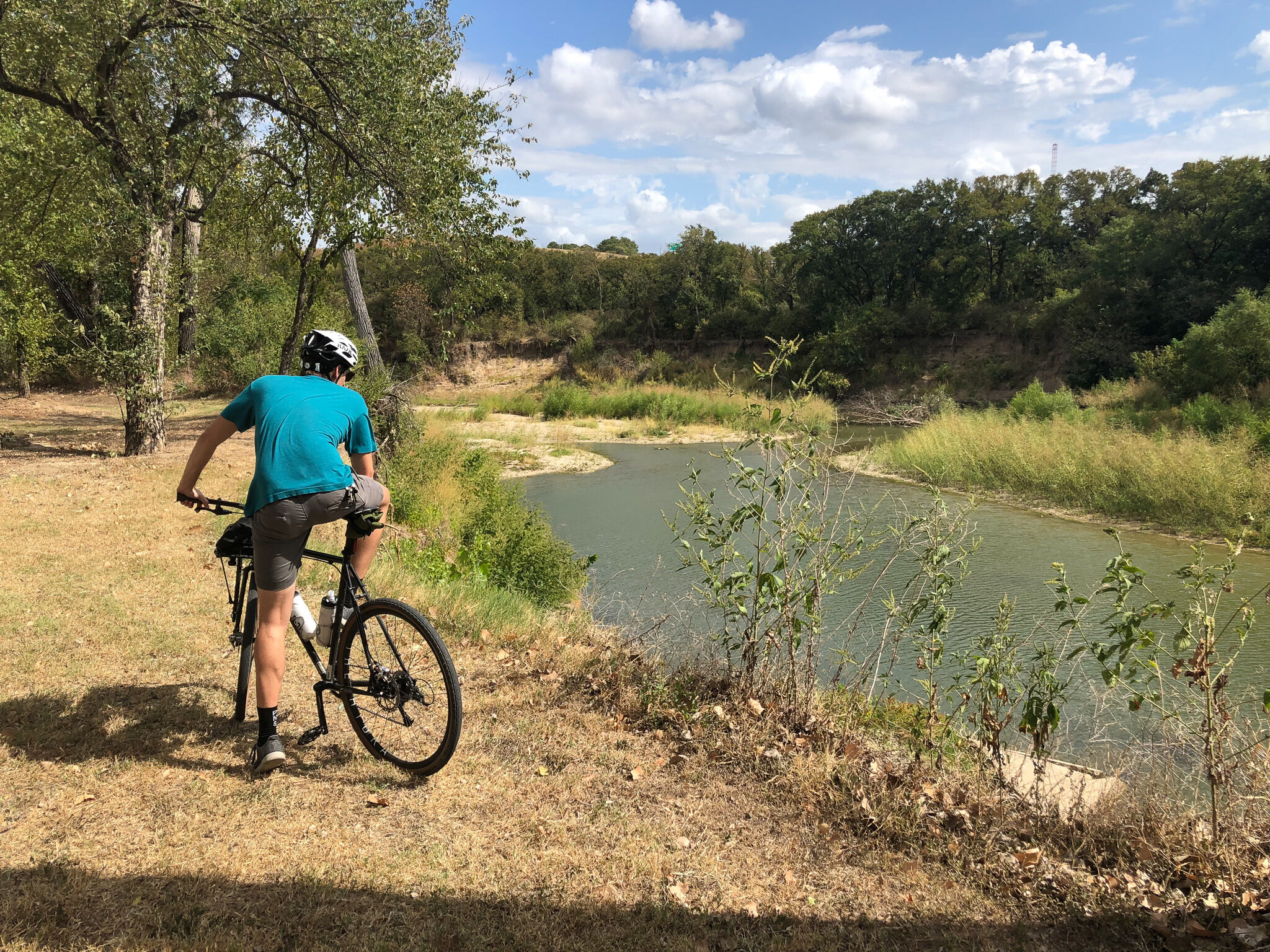
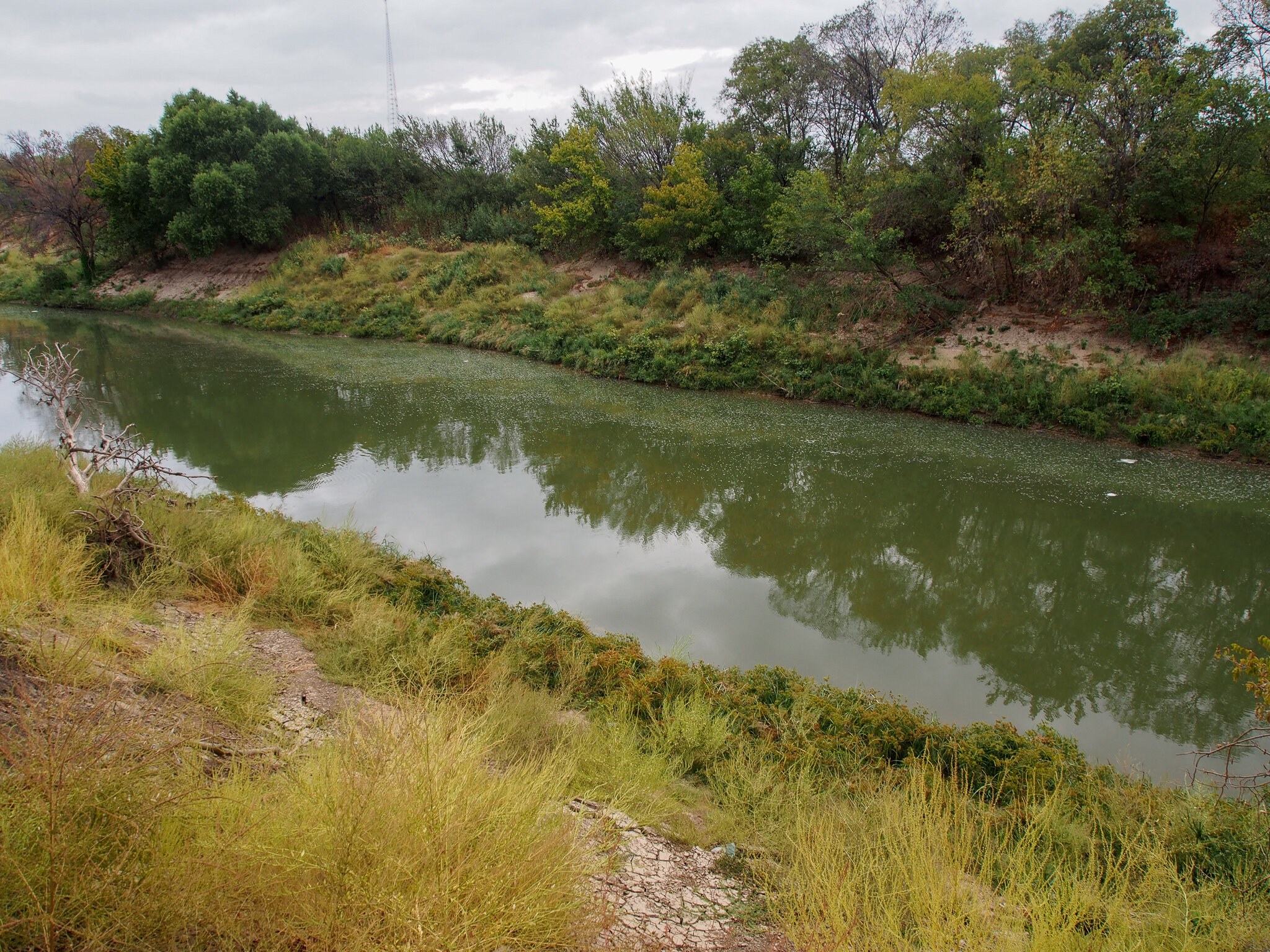
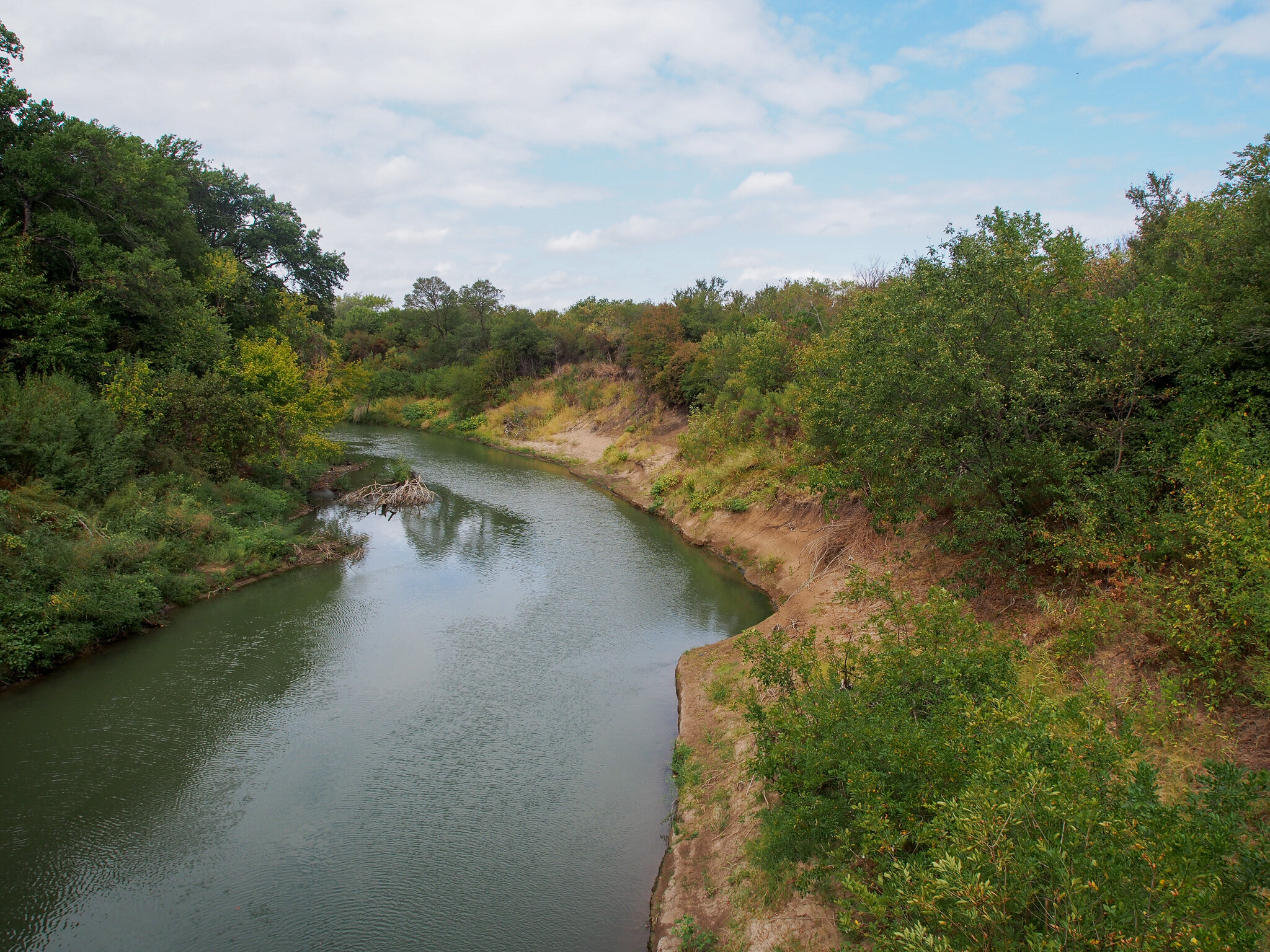
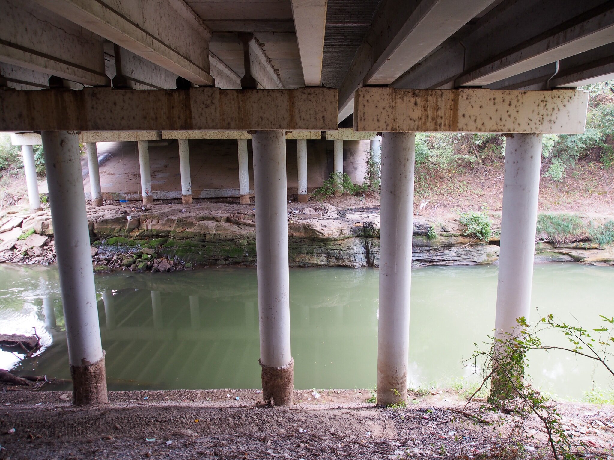
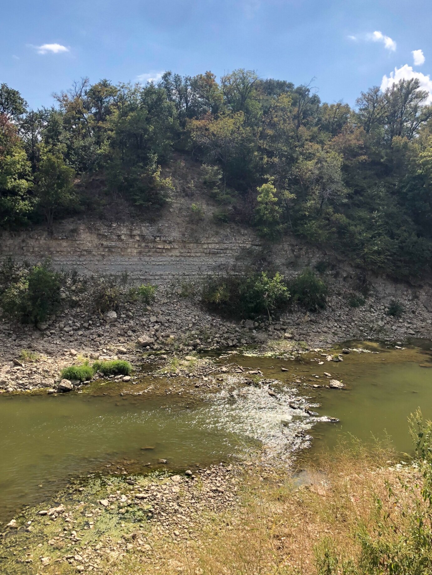
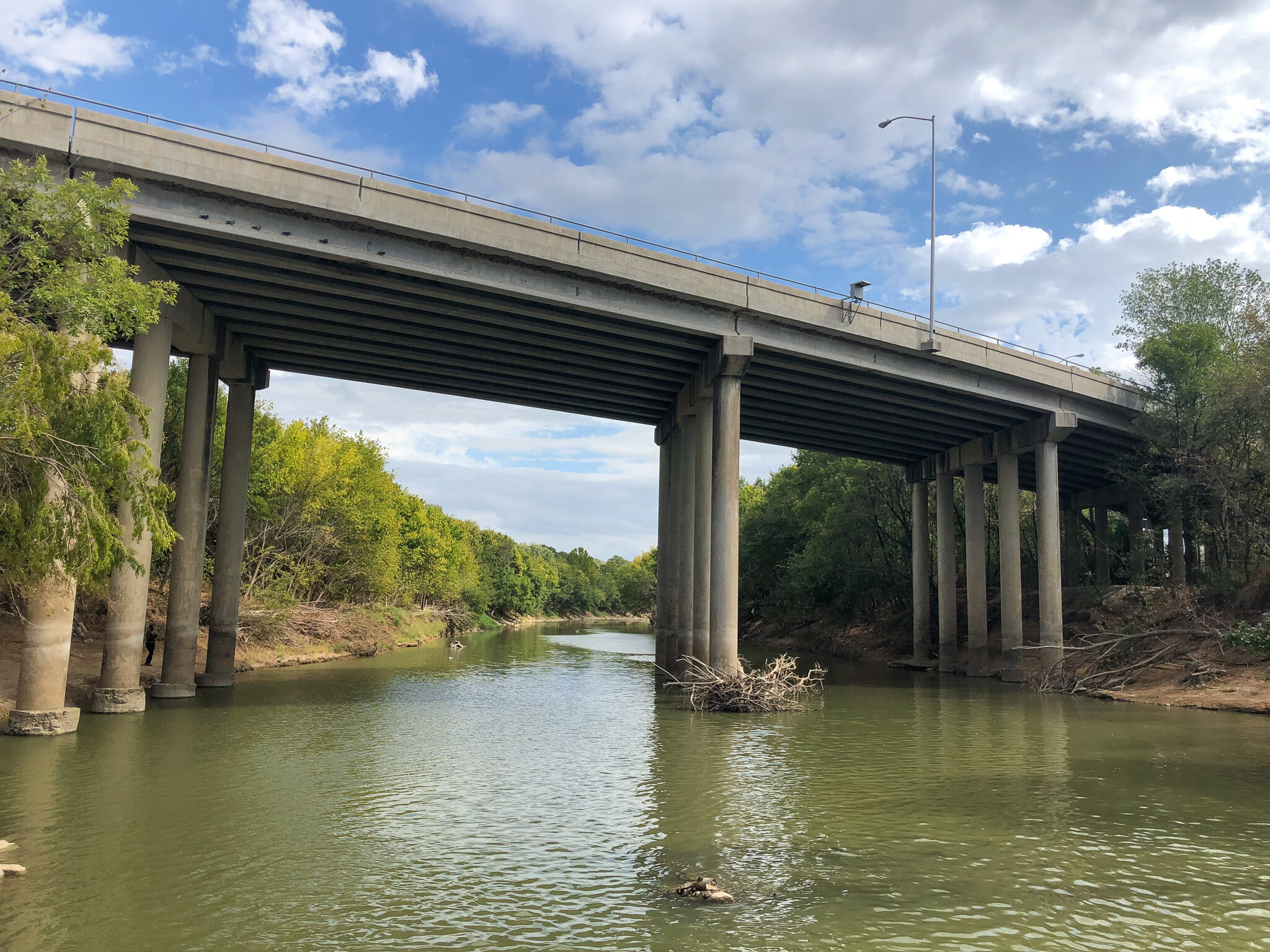
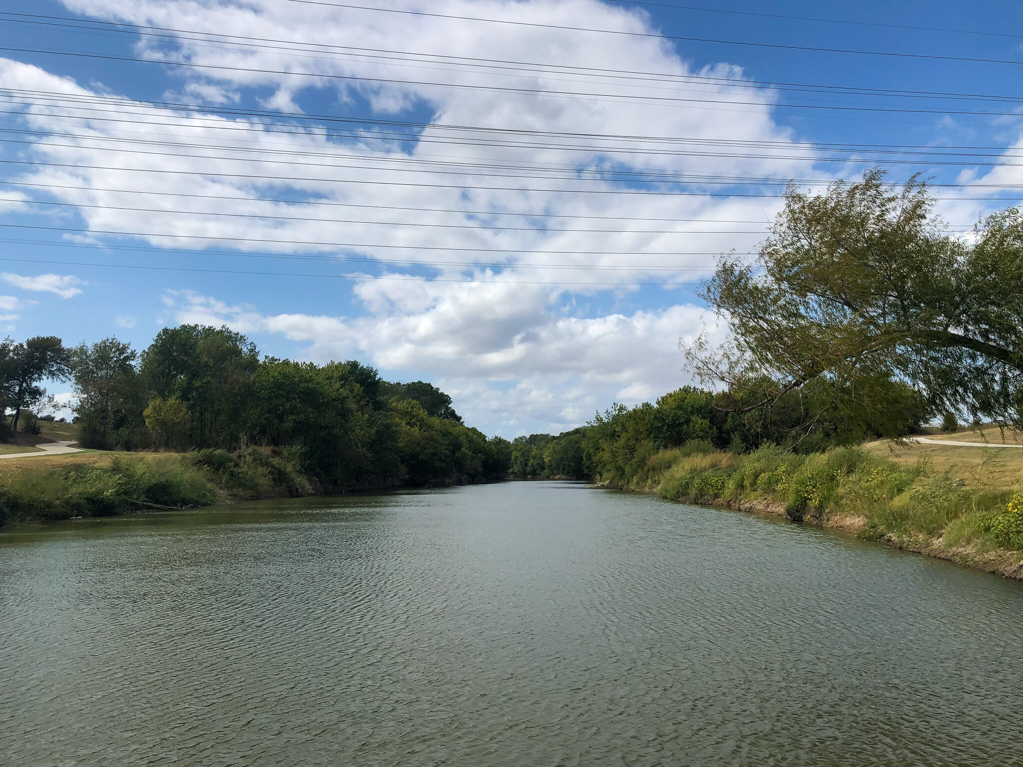
The portions of the route that used the river as an organizational tool were the most successful. Using the Trinity as a binding method speaks to the whole journey. The river expressed itself in many different ways along the route.
The “chicken-or-egg, infrastructure-or-culture” question has allowed me to be critical, yet optimistic when applying it to the urban bike condition of different places. As a cycling advocate, I was unsure of moving to Dallas initially. I had been told stories of the car-dominate landscape and had read articles that plunged Dallas at the end of the “best biking cities in the country” list. However, just exceeding the one-year mark as a Dallas resident, I feel I can confidently say Dallas has the infrastructure to support a vibrant bike culture. We, as a city, are responsible for recognizing and utilizing our existing condition to change the harmful stereotype that Dallas is not for bikes. Hop on a bike and ride on our robust bicycle trails throughout the Metroplex! This is how we can become a biking city.
Want to take advantage of the Metroplex’s bicycle infrastructure? Here is a link to the route. http://www.strava.com/routes/21987860


